The Faculty of Information Technology at the Czech Technical University in Prague (FIT CTU) and the Plan4all (P4A) association, together with their partners, have achieved groundbreaking results in Earth Intelligence and geospatial artificial intelligence (GeoAI) during the first nine months of collaboration on the European research project PoliRuralPlus and the national research project ALIANCE. GeoAI is becoming a key tool for analyzing data generated by our planet. The unique combination of artificial intelligence and geospatial data has led to world-class innovations with direct applications in agriculture, forestry, crisis management, public health, land planning, and environmental protection.
These innovations in GeoAI open new possibilities for analyzing vast amounts of geospatial data and conducting advanced spatial analyses. This enables, for example, more accurate weather predictions, improved quality and reliability of satellite images, and the integration of advanced language models with geographic information systems (GIS). The innovations brought by the collaboration of the PoliRuralPlus and ALIANCE projects strengthen the Czech Republic's leading position in Earth Intelligence and future technologies.
The PoliRuralPlus and ALIANCE projects are paving the way for new collaboration and strengthening ties between European research organizations and the professional community in agriculture and land planning. By combining the latest technologies, such as artificial intelligence, machine learning, and remote sensing, they deliver breakthrough results that allow for more efficient land planning, better resource utilization, and data-driven decision-making.
Justýna Frommová utilized a neural convolutional network (EfficientNet) with a classification head for automating video editing, capable of recognizing the beginnings and ends of segments based on frame analysis. Based on this data, she created a program that defines time stamps and automatically edits the video in production.
They also highlight new opportunities for investing in the development of innovative solutions in the field of geospatial data, artificial intelligence, and their applications in precision agriculture. This sector represents a modern way of farming that provides economic benefits to farmers while responding to new societal demands and the technological possibilities of the digital age. These technologies lead to greater efficiency, sustainability, and strategic decision-making at all levels, while supporting economic growth and the sustainable use of natural resources.
Key results of the projects:
- More accurate weather predictions: Integration of global AI models (models predicting weather worldwide) with data from local meteorological stations has significantly increased the accuracy of weather forecasts, positively impacting agriculture, crisis management, and other public service sectors.
-
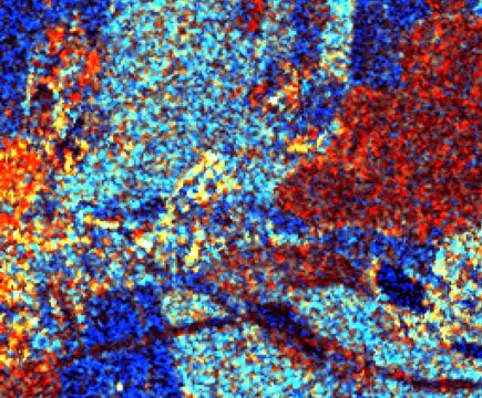
Cloud removal in satellite images: Advances in processing data from the Sentinel 2 satellite have enabled cloud removal and increased the reliability of images, contributing to more efficient environmental monitoring, tracking land use changes, and managing responses to natural disasters.
-
Connecting large language models with GIS: This connection allows for more detailed analysis of spatial data, crucial for infrastructure planning, improving urban services, and decision-making in public administration. In the PoliRuralPlus project, geospatial predictors are integrated with LLMs like ChatGPT, enhancing the analysis of local conditions and predictions of geographical changes. The Hub4Everybody platform provides a universal tool for creating knowledge hubs supported by spatial data and digital communities.
Planned development and collaboration
The PoliRuralPlus project will continue to develop and expand the applications of GeoAI in practice for effective planning, strategic decision-making, and supporting sustainable development. Benefits will also come from connections with other European projects under the Horizon Europe and ERASMUS programs, enabling further development of innovative applications with global reach. The main benefit of the ALIANCE project is the Data Integration Platform, which ensures effective data management and uses advanced AI technologies to reconstruct missing data from satellite images, providing farmers with accurate information even under unfavorable conditions.
For more information about the PoliRuralPlus project, visit https://www.poliruralplus.eu/.
For more information about the ALIANCE project, visit https://aliance.hsrs.cz/.


