Network Visualization Laboratory (SAGElab)

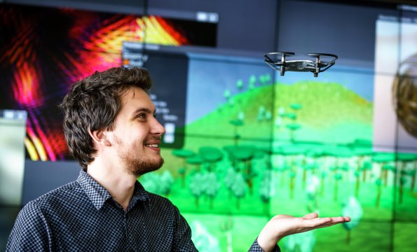
The laboratory’s aim is to provide support for instruction and educate specialists in network technologies, multimedia and virtual reality, and the creation of environment for research and development of new network applications. We use the laboratory for lectures by experts from various fields of research and development where visualization of big data is needed, for distance lectures, for independent work of students in the last year of their studies, PhD students and staff in research and development in the field of network and multimedia technologies, and for cooperation with workplaces outside CTU in the Czech Republic and in the framework of the international community of laboratories with a similar focus. The laboratory is a joint workplace of CESNET, FIT and the Faculty of Electrical Engineering CTU.

More about us

Projects

Dowry Towns of the Queens of Bohemia (A living part of historical consciousness and its support of the instruments of historical geography, virtual reality and cyberspace)

Program
Programme for the Support of Applied Research and Exp. Development of National and Cultural Identity dor the Years 2016-2022 (in short, "NAKI II")
Provider
Ministry of Culture
Investigators
Code
DG18P02OVV015
Period
2018 - 2022
Description
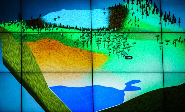
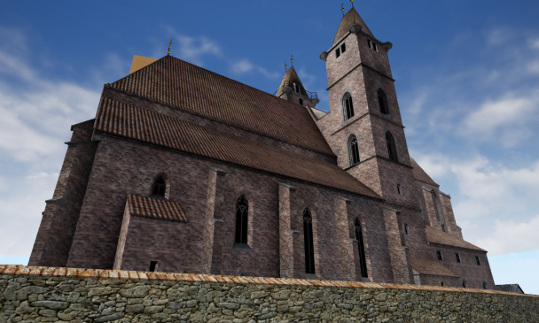
Towns belonging in the past to the Bohemian queens, so-called royal dowry towns (more stably Hradec Králové, Chrudim, Vysoké Mýto, Polička, Jaroměř, Dvůr Králové, Trutnov, Nový Bydžov, Mělník), are a special category among Czech historical towns in a number of perspectives. With the exception of Mělník, they comprise a specific geographic enclave in East Bohemia. The institution began to form at the beginning of the 14th century and went through a complicated development. Dowry towns became a source of incomes of the queens and in the case of medieval Hradec and Mělník for a time the residence of several of them. De iure, the institution of dowry towns ended in 1918. The reflection of their historic charisma was revitalised in the 19th century during the national revival and lives until now as one of the pieces of the identity of these towns in relation to the other towns of the CR. The main objective of the submitted project is in accordance with the specific aim of 1.1 applied research and experimental development aimed at presenting this exclusively Czech historical phenomenon to the general public through the tools of historical geography and advanced computer graphics. The main outputs of the project will be a dedicated mobile application and a web portal that will serve as a specialized historical guide to the dowry towns and their urban landscape and specialized (reconstruction) maps of the entire regional enclave and the towns themselves. In the case of Hradec Králové, the guide will provide the possibility of 3D travel over time on the basis of so-called expanded virtual reality, incl. 3D reconstruction of already destroyed urban complexes and examples of period life. For Dvůr Králové, Jaroměř, Polička, and Vysoké Mýto, the volumes of the Historical Atlas of the Czech Republic will be created as other main outputs of the project. Along with the secondary outputs, a collection presenting the dowry towns to the lay and professional public will be fashioned. A

A tour of the lab

Where to find us

Network Visualization Laboratory
Department of Software Engineering
Faculty of Information Technology
Czech Technical University in Prague

Room TH:A-1452 (Building A, 14th floor)
Thákurova 7
Prague 6 – Dejvice
160 00

The person responsible for the content of this page: doc. Ing. Štěpán Starosta, Ph.D.