At the beginning of this year, the prestigious European PoliRuralPlus grant worth almost six million euros was awarded to FIT CTU as the main coordinator. The three-year project, prepared with other Czech partners CCSS and Plan4All, involves 20 European partners. The project’s primary objective is to improve and support regional development’s sustainability through artificial intelligence working with spatial data.
The PoliRuralPlus project addresses the current challenges of integrated urban and rural development through technological innovations with applications such as strategic planning. It focuses on the practical use of modern technologies to provide quality input for preparing Regional Action Plans.
The new website for the PoliRuralPlus project currently launched
One of the project's important communication channels is the new website for the PoliRuralPlus project, which has just been launched. The involvement of all European partners begins to build a comprehensive PoliRuralPlus Hub, which aims to support sustainable, balanced and inclusive development of rural and urban communities across Europe. At the same time, the PoliruralPlus website will become a dynamic knowledge hub, serving as a social space connecting citizens with regional politicians, researchers and experts. The project is preparing to launch additional features including innovative artificial intelligence tools and a complex educational platform.
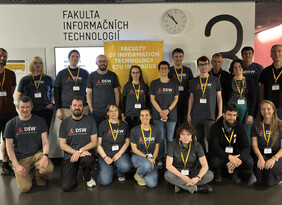
The implementation of advanced technical solutions of AI, machine learning, geographic information systems, IoT technologies, and the introduction of tools such as Hub 4Everybody and Map Whiteboard (a unique solution for online collaborative work with interactive maps developed in previous projects by the key Czech partner of the Plan4All project) will allow local governments to create and assess multiple scenarios based on which, for example, regional development plans will be prepared. The new algorithms and systems developed under the project will also allow better data acquisition, analysis and linking, for example, to support strategic planning. Responsibility for the selection, development, and testing of artificial intelligence components lies with the Data Science Laboratory research team at FIT CTU (DataLab).
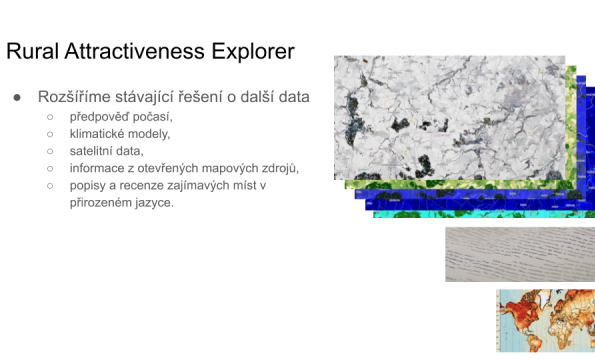
As part of the project, the DataLab team will further develop the spatio-temporal modeling and prediction methods that have been successful in prestigious scientific competitions. These methods can be adapted, for example, to climate predictions or forecasts of extreme weather events (floods, tornadoes), which impact spatial planning in modeling the attractiveness of a territory. An example is the support of planting planning for agricultural and forestry areas.
Another area of DataLab’s research within the project is the use of modern large language models in the context of spatio-temporal reasoning. It will make it possible to specify proposed measures in natural language. The output of the examined algorithms will contain not only the final decision but also additional information supporting the final decision.
DataLab’s artificial intelligence methods will also improve the results of work packages coordinated by foreign partners within the project.
Mgr. Petr Šimánek, Head of DataLab, says about the project: “Research in DataLab is largely funded by industry. The PoliRuralPlus project will allow us to do more high-quality basic research and to become more involved in international research consortia.”
The international consortium of the PoliRuralPlus project brings together partners from countries ranging from Spain to Norway and from Greece to Ireland. FIT CTU has been awarded a prestigious Horizon Europe research and innovation funding grant in cooperation with the Digital Innovation Hubs Network Plan4All and, with the current PoliRuralPlus project, builds on the results of the previous successful PoliRural project.


